548
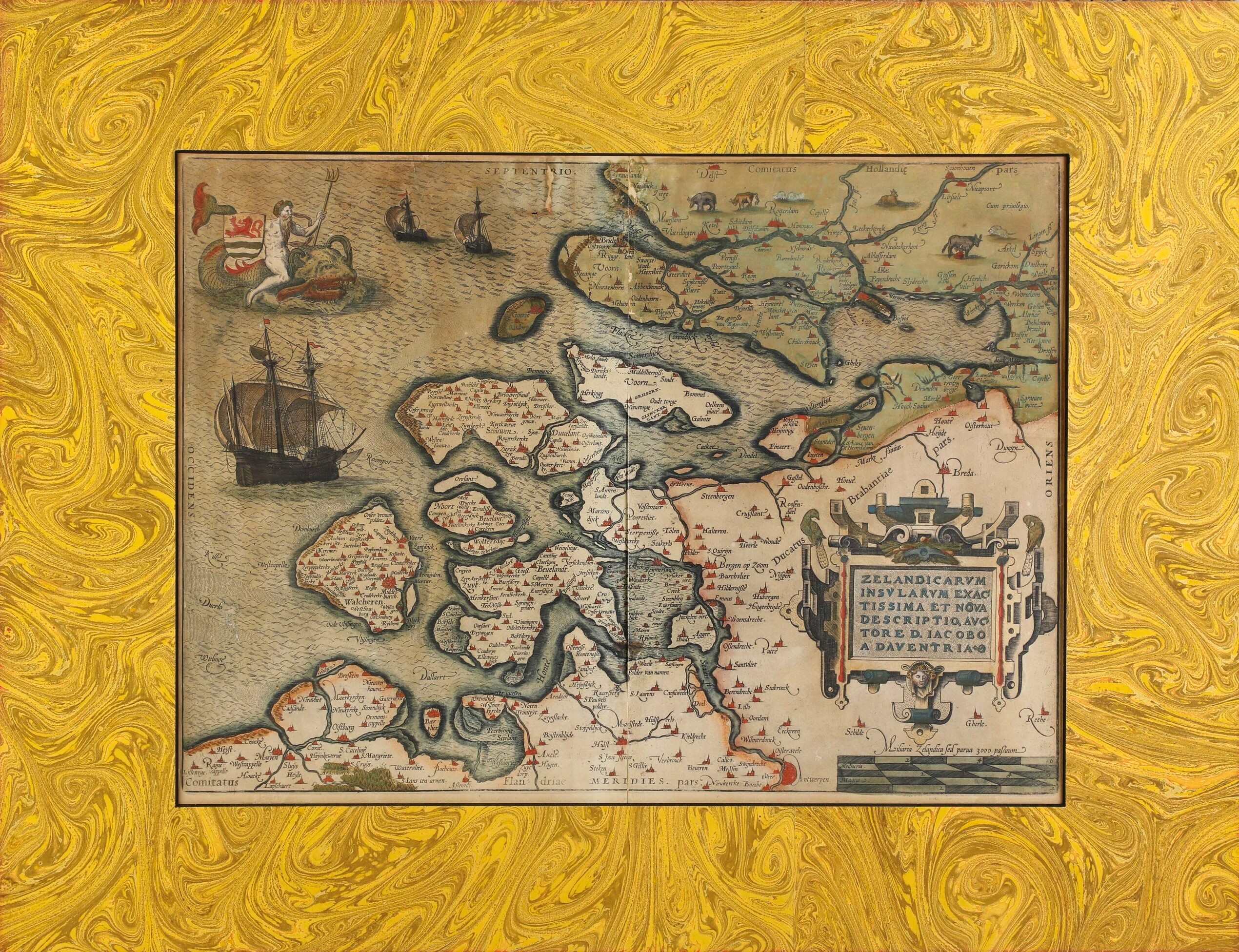
Carta geografica della Zelandia
Description
Carta geografica della Zelandia
Incisione su rame colorata ad acquarello, tratta dal volume "Zelandicarum Insularum Exactissima Et Nova Descriptio" del cartografo olandese Jacob van Deventer, edita per la prima volta nel 1580. Due fogli uniti. Dim. rame cm 34,5x46,5, dim. totale fogli cm 40x53
Time auction 1071
Old and Modern Prints
wed 28 May - wed 11 June 2025
Genoa
The description sheets do not always indicate the state of conservation of the goods, we invite you to always request the condition report before making your offers