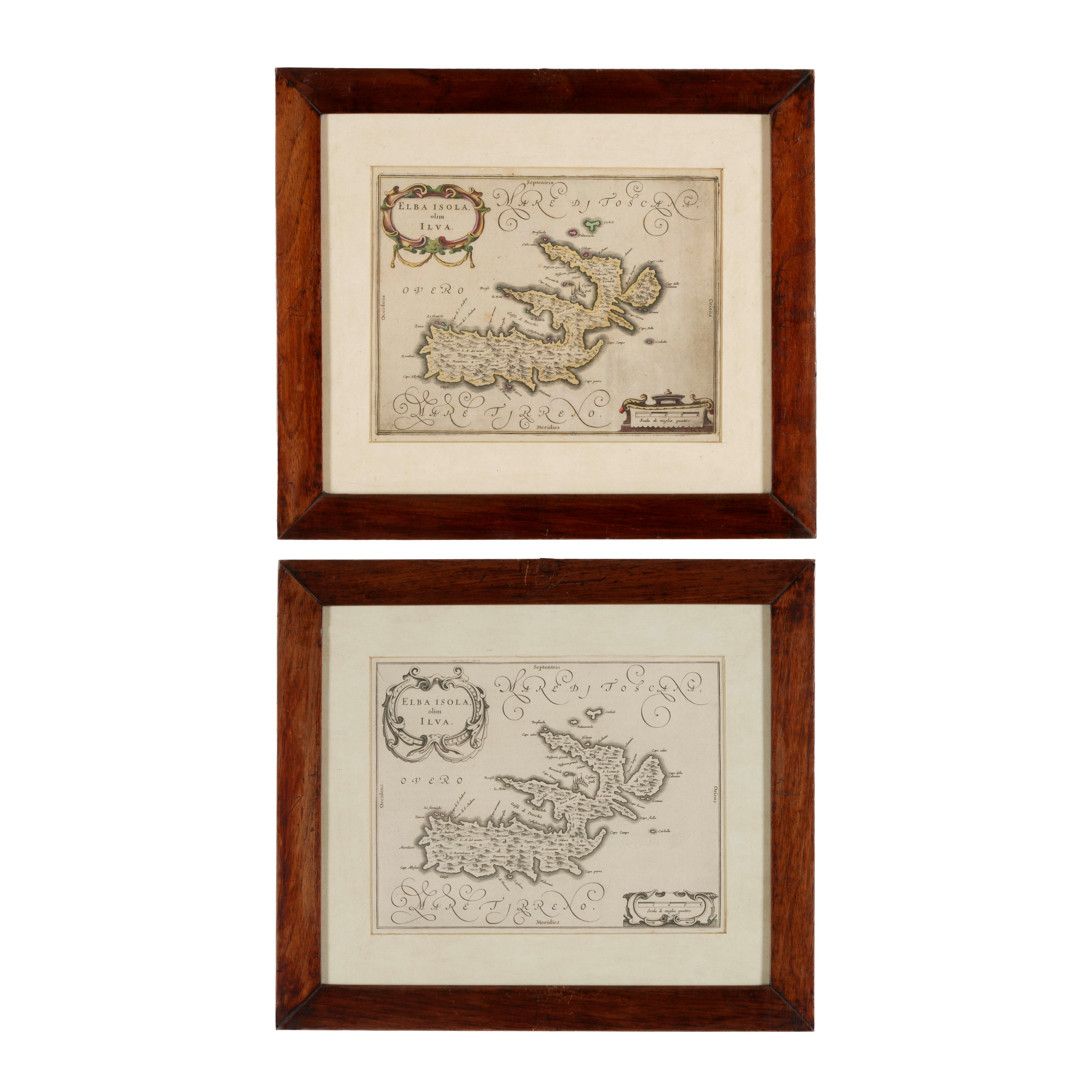
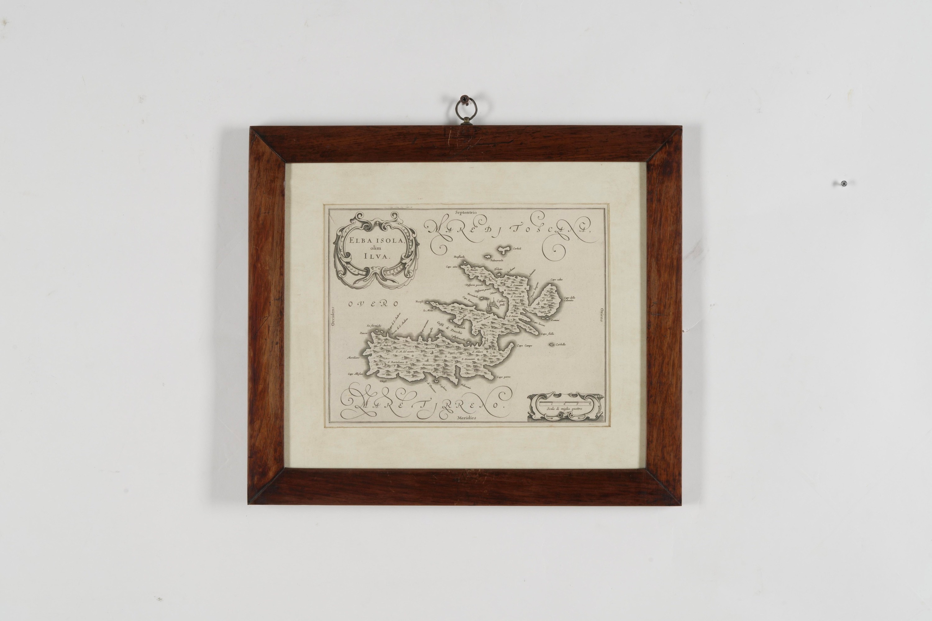
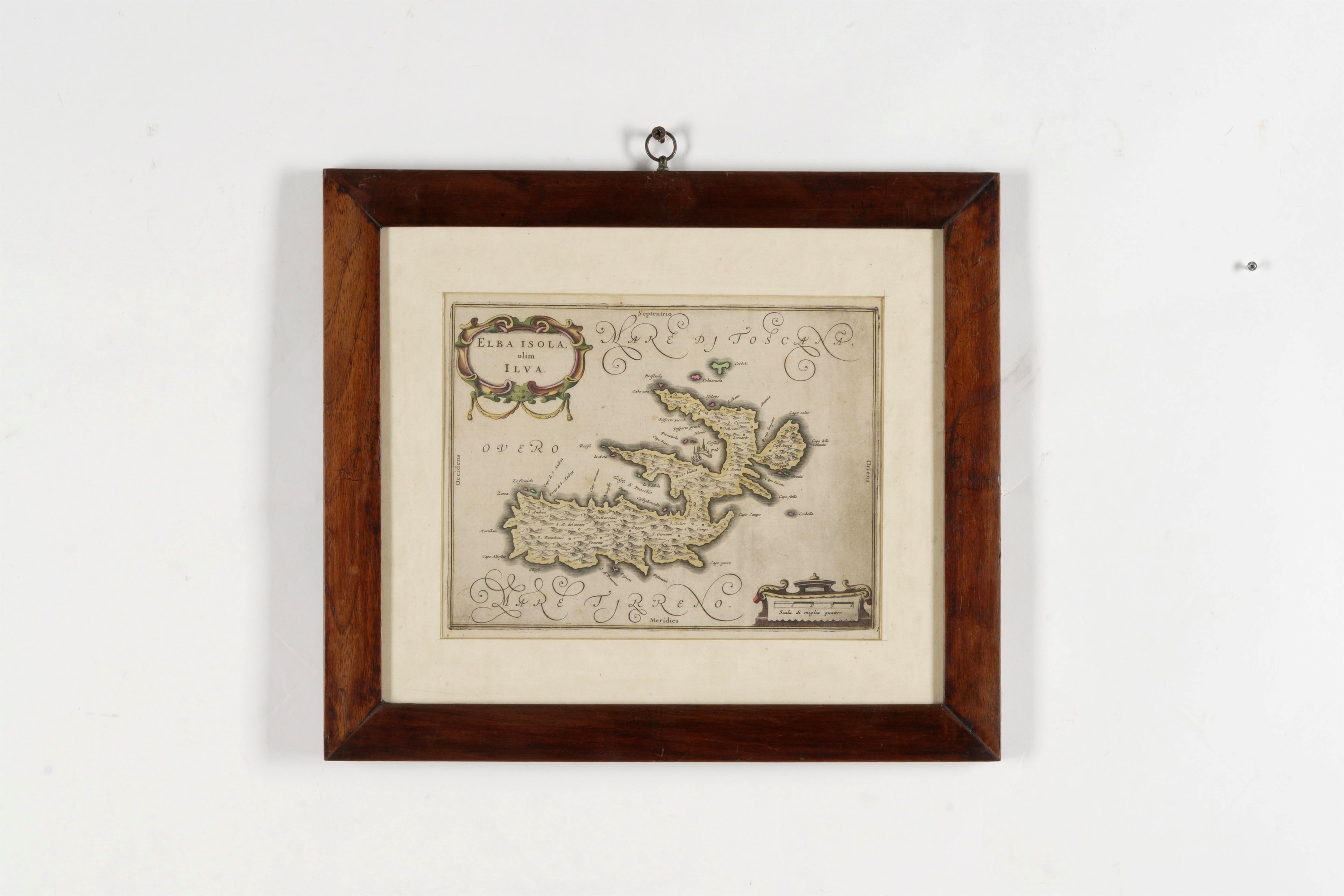
305
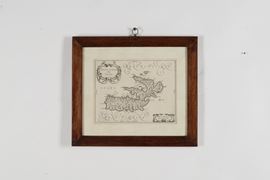
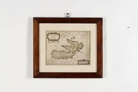
Willem J. Bleau (1571 - 1638) Due carte geografiche raffiguranti l’isola d’Elba
Description
Willem J. Bleau (1571 - 1638) Due carte geografiche raffiguranti l’isola d’Elba
incisione tratta da ‘Atlas Major’, Amsterdam 1665
una delle due presenta coloritura coeva ad acquarello
Olanda, metà XVII secolo, lastra cm. 20 x 26, foglio cm. 50 x 29
cornice a fascia piatta in noce, fine XIX secolo, cm. 35 x 40
una delle due presenta coloritura coeva ad acquarello
Olanda, metà XVII secolo, lastra cm. 20 x 26, foglio cm. 50 x 29
cornice a fascia piatta in noce, fine XIX secolo, cm. 35 x 40
Live auction 1091
Scientific Instruments and Maritime Art
thu 16 April 2026
Genoa
SINGLE SESSION 16/04/2026 Hours 15:00
The description sheets do not always indicate the state of conservation of the goods, we invite you to always request the condition report before making your offers
New lots currently at auction
Majolica and Porcelain
Lot 191
Posacenere. Limoges, XX secolo.
Majolica and Porcelain
Lot 16
Piatto. Pavia, inizio del XVIII secolo.
Only 20th-Century Murano
Lot 195
Murano secolo XX
Only 20th-Century Murano
Lot 235
Barovier & Toso, Murano 1980 ca
Only 20th-Century Murano
Lot 43
Venini, Murano 1950 ca
Only 20th-Century Murano
Lot 201
Venini, Murano 1982
Majolica and Porcelain
Lot 80
Cinque piatti dalla serie «Le Arti» di Salvador Dalì.
Only 20th-Century Murano
Lot 134
Seguso Vetri d'Arte, Murano, 1940 ca.
Only 20th-Century Murano
Lot 137
Archimede Seguso, Murano 1980 ca
Majolica and Porcelain
Lot 368